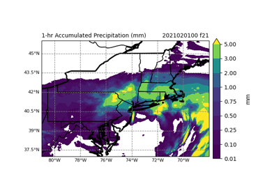
7.2.19.16. Short Range
High resolution model configurations (1-4km) usually producing forecasts between 0-3 days (also referred to as limited area models, stand-alone regional, and short range weather applications); Previously named Convection Allowing Models
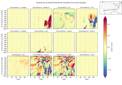
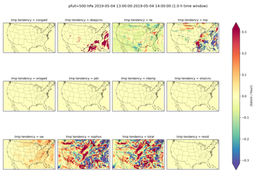
UserScript: Physics Tendency Vertical Cross Section plot
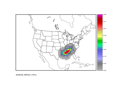
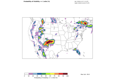
Point2Grid: Calculate Practically Perfect Probabilities
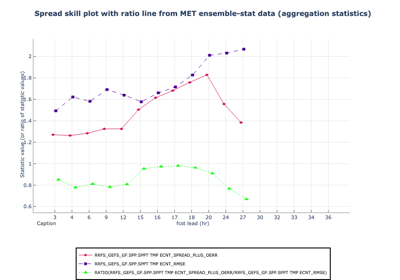
Ensemble-Stat: Ensemble Statistics using Obs Uncertainty
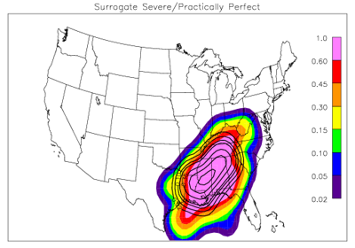
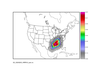
Grid-Stat: Surrogate Severe and Practically Perfect Probabilistic Evaluation
GridStat: Use Python embedding to evaluate GeoTIFF imagery across multiple fields
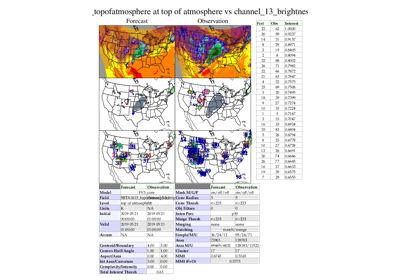
MODEMultivar: Create objects of brightness temps and radar reflectivity
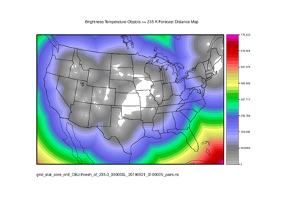
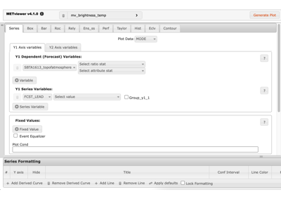
MODE/Grid-Stat: Brightness Temperature Verification and Distance Maps
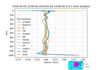
UserScript: Physics Tendency Vertical Profile plot
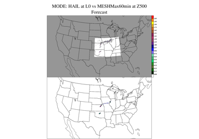
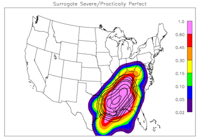
Grid-Stat: Surrogate Severe and Practically Perfect Evaluation
Surrogate Severe Calculation: PCPCombine, GenEnsProd, and RegridDataPlane