7.2.19.8. Medium Range
Lower resolution model configuration (>4km) usually producing forecasts out to 5-14 days (also referred to as global models)
GridStat: Use binary observation field to verify percentile forecast
GridStat: Use binary observation field to verify percentile forecast
Multi_Tool: Feature Relative by Lead using Multiple User-Defined Fields
Multi_Tool: Feature Relative by Lead using Multiple User-Defined Fields
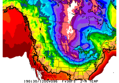
Point-Stat: Standard Verification for CONUS Surface
Point-Stat: Standard Verification for CONUS Surface
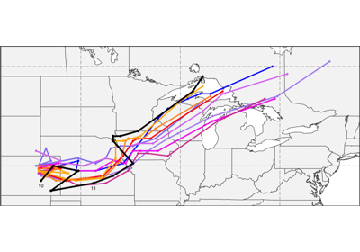
Multi_Tool: Feature Relative by Lead (with lead groupings)
Multi_Tool: Feature Relative by Lead (with lead groupings)
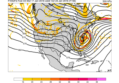
Point-Stat: Standard Verification of Global Upper Air
Point-Stat: Standard Verification of Global Upper Air
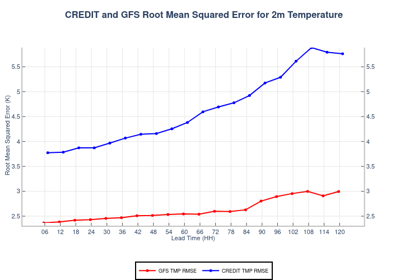
Point-Stat, Stat-Analysis, UserScript, DataIngest: CREDIT and GFS point statistics, Data Download, Plots

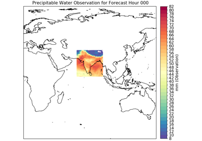
Grid-Stat: Using Python Embedding for Total Column Ozone
Grid-Stat: Using Python Embedding for Total Column Ozone


Grid-Stat, Stat-Analysis, Data-Ingest: CREDIT and GFS statistics and Data Download
Grid-Stat, Stat-Analysis, Data-Ingest: CREDIT and GFS statistics and Data Download
Grid-Stat: Compute Anomaly Correlation using Climatology
Grid-Stat: Compute Anomaly Correlation using Climatology
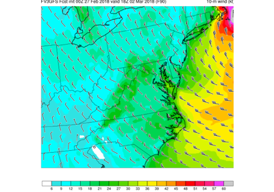
Grid-Stat: Standard Verification of Surface Fields
Grid-Stat: Standard Verification of Surface Fields
Multi_Tool (MTD): Feature Relative by Lead (with lead groupings)
Multi_Tool (MTD): Feature Relative by Lead (with lead groupings)