2.8. mPING
- Description
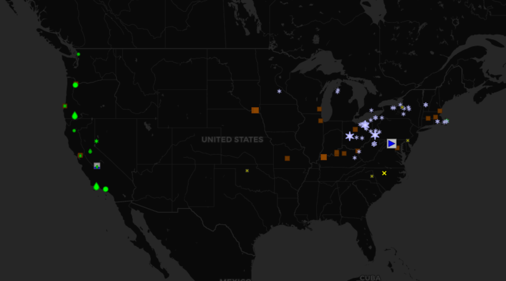
Meteorological Phenomena Identification Near the Ground (mPING) is a crowd-sourced weather observing network developed through partnership between the National Severe Storms Laboratory, The University of Oklahoma, and the Cooperative Institute for Mesoscale Meteorological Studies.
Sample image
- Recommended use
Evaluating weather types, including precipitation, hail size, wind, visibility, flood, tornadoes, and mud/landslides
- File format
ASCII
- Location of data
To request access: https://mping.ou.edu/static/mping/access.html
- Access restrictions
Both research and commerical licenses are available (access link above)
- Spatial resolution, grid, or coverage
Reports can be submitted from anywhere in the world; however, reports typically are over CONUS
- Temporal resolution
Varies
- Starting and/or ending dates
2012-Present
- Data latency
Real-time
- Variables available
None, drizzle, freezing drizzle, rain, freezing rain, ice pellets/sleet, snow, mixed rain/snow, mixed ice pellets/snow, hail, wind damage (by severity), flooding (by severity), mudslide/landslide, dense fog, and blowing dust/sand
- METplus Use Cases
Link to METplus Use Cases for this dataset.
- Keywords
Note
Current Dataset: VxDataMPING
Note
Data Labels: DataTypePoint, DataLevelSurface, DataProviderOU, DataApplicationPrecipitation, DataApplicationConvectionAllowingModels