2.11. NEXRAD Level 3
- Description
Next-Generation Radar (NEXRAD) Level 3, gridded radial
https://www.ncdc.noaa.gov/data-access/radar-data/nexrad-products
Display/conversion: https://www.ncdc.noaa.gov/data-access/radar-data/radar-display-tools
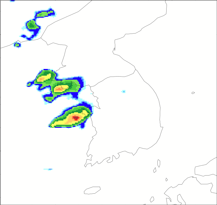
Sample image
- Recommended use
Weather Radar research
- File format
Binary
- Location of data
Google Cloud: https://console.cloud.google.com/storage/browser/gcp-public-data-nexrad-l3/
- Access restrictions
None
- Spatial resolution, grid, or coverage
Radar sites over CONUS, Alaska (7), Hawaii (4), U.S territories
Radial coverage of 0.5 degree azmuthal by 250m range gate resolution out to 230 km for most fields
- Temporal resolution
4.5 - 10 mins depending on Volume Coverage Patterns (VCPs)
- Starting and/or ending dates
May 1992 (extremely limited) to present
- Data latency
Archived: ~ 2 days (station dependent)
- Variables available
40+ base, derived, post-processed products at reduced resolution
- METplus Use Cases
Link to METplus Use Cases for this dataset.
- Keywords
Note
Current Dataset: VxDataNexradLevel3
Note
Data Type Labels: DataTypeGridded, DataLevelSurface, DataProviderNOAA, DataApplicationShortRange, DataApplicationMediumRange
